olive yield prediction using satellite imagery

For centuries, olive cultivation has been a cornerstone of Mediterranean agriculture, particularly in countries like Tunisia, Spain, Italy, and Greece. Farmers traditionally relied on experience, intuition, and local climate knowledge to predict harvest volumes. However, in recent years, climate change, unpredictable rainfall, and soil degradation have made yield estimation increasingly challenging.
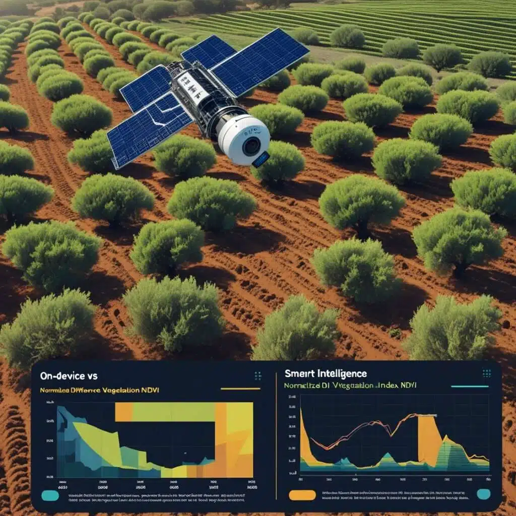
Today, advances in remote sensing, machine learning, and satellite imagery are reshaping how farmers and researchers forecast olive production. By combining multispectral images from satellites such as Landsat with advanced modeling techniques, it is now possible to achieve high accuracy in predicting yields — sometimes reaching over 86% correlation with real harvests.
In this article, we explore how olive yield prediction using satellite imagery data works for agriculture, why olive crops are a special case, and how Tunisia and other Mediterranean countries are leading this technological shift.
Why Yield Prediction Matters in Olive Farming
Accurate olive yield forecasts bring several benefits:
- Economic Planning
- Olive oil prices fluctuate with supply. Better forecasts allow governments and exporters to stabilize markets.
- Resource Management
- Farmers can adjust irrigation and fertilization according to expected yields.
- Food Security & Exports
- Tunisia, one of the largest olive oil exporters, depends on accurate predictions to secure contracts and maintain global competitiveness.
- Sustainability
- By optimizing inputs, farmers reduce waste and environmental impact.
The Role of Satellite Imagery in Agriculture
What is Remote Sensing?
Remote sensing uses satellite or aerial imagery to monitor land surfaces without direct contact. Sensors capture data in visible, infrared, and thermal bands, revealing details invisible to the human eye.
Key Data Sources for Olive Monitoring
- Landsat (NASA/USGS): Provides free multispectral data for decades.
- Sentinel-2 (ESA): Higher resolution imagery, useful for monitoring small orchards.
- MODIS: Daily imagery, ideal for large-scale climate and vegetation tracking.
How Satellites “See” Olive Trees
- NDVI (Normalized Difference Vegetation Index): Measures plant health and chlorophyll activity.
- EVI (Enhanced Vegetation Index): More sensitive to canopy structure and biomass.
- Thermal Bands: Indicate water stress and soil moisture.
By analyzing these indices, researchers can estimate olive tree vigor and predict how many olives they are likely to produce.
Case Study: Olive Yield Prediction in Tunisia
A recent study conducted in Tunisia combined Landsat satellite imagery with machine learning models to predict olive production. The results were remarkable:
- Correlation (R²): ≈ 0.86 between satellite predictions and actual harvest data.
- Best predictors: NDVI and EVI during the flowering and fruiting stages.
- Applications: Both large cooperatives and small farmers could use this data for real-time decision-making.
This is particularly valuable in Tunisia, where olive farming represents nearly 45% of the country’s cultivated land and provides a significant portion of export revenue.
How Machine Learning Improves Forecast Accuracy
Modern AI techniques enhance satellite-based yield prediction:
- Regression Models
- Establish relationships between vegetation indices and historical yield data.
- Random Forests & Gradient Boosting
- Handle nonlinear relationships in olive growth influenced by rainfall, soil, and pruning.
- Deep Learning (CNNs & LSTMs)
- Use time-series satellite data to capture seasonal trends in olive production.
Benefits for Farmers and Policymakers
- Early Warnings: Detect crop stress months before harvest.
- Insurance & Risk Management: Insurance companies can base contracts on objective satellite data.
- Export Forecasting: Governments can negotiate trade deals more confidently.
Challenges and Limitations
- Cloud Cover: Frequent clouds reduce data quality.
- Local Calibration: Models need ground truth data for accuracy.
- Cost & Training: Small farmers may need government or NGO support to access these tools.
The Future of Olive Farming with AI and Satellites
The combination of AI-driven analytics + real-time satellite imagery is set to transform olive farming into a more data-driven and resilient industry. In the near future, farmers might receive:
- Mobile notifications about orchard stress.
- Automated irrigation schedules based on satellite-derived evapotranspiration.
- Market forecasts tied to expected olive oil production.
As climate change continues to pressure Mediterranean agriculture, technology is no longer a luxury but a necessity for olive producers.
Conclusion
Satellite technology is unlocking new opportunities for olive farmers worldwide. By integrating remote sensing, AI, and local knowledge, Tunisia and other Mediterranean nations can secure sustainable production and remain global leaders in olive oil exports.
The shift from traditional guesswork to data-driven farming is not just about efficiency — it’s about ensuring the long-term survival of one of humanity’s oldest and most treasured crops.
- Global Demand for Technology Professionals: Skills, Roles, Job Openings & Future Trends
- Fix ANR on Android: A Complete Guide to Understanding, Diagnosing, and Preventing Application Not Responding Errors
- How to Optimize a PC for Gaming: My Personal Journey with an IdeaPad 3
- AI Fitness Training: How AI in Fitness Training Helped Me Challenge My Students
- iPhone 17 Launch Event, Samsung’s Bright Future, and Key Reviews


